Complete Solutions and Summary of Climate – NCERT Class 9, Geography, Chapter 4 – Summary, Questions, Answers, Extra Questions
Detailed summary and explanation of Chapter 4 ‘Climate’ covering weather versus climate, elements, controlling factors, India's climatic zones, seasons, temperature and rainfall patterns, monsoon characteristics, and their unifying role, with all question answers, map skills, and extra questions from NCERT Class IX Geography.
Updated: 9 months ago
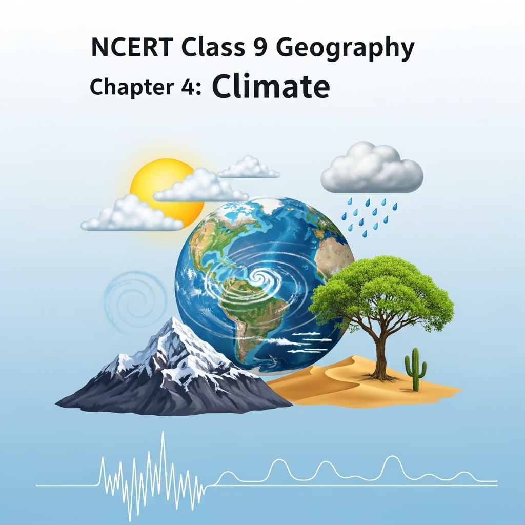
Climate
Chapter 4: Geography - Complete Study Guide | NCERT Class 9 Notes & Questions 2025
Comprehensive Chapter Summary - Climate Class 9 NCERT
Overview
- Chapter Purpose: Explains atmospheric conditions (climate) vs temporary states (weather). Elements: temperature, pressure, wind, humidity, precipitation. Seasons: winter, summer, rainy. India's monsoon climate (Arabic 'mausim' for season) with reversal in wind direction. Key Insight: Unity in pattern but regional variations; monsoon unifies landscape, agriculture, life. Figure 4.1: Advancing Monsoon; Figure 4.2: Retreating Monsoon; Figure 4.3: Annual Rainfall.
- Climate vs Weather: Climate: Sum of weather over large area/long time (>30 years); Weather: State at any point. Fluctuations daily but patterns over weeks/months divide year into seasons.
- Monsoon Climate: Found south/southeast Asia; unity with variations. Temperature: Summer 50°C Rajasthan desert vs 20°C Pahalgam; Winter -45°C Drass vs 22°C Thiruvananthapuram. Day-night differences: Thar 50°C day to 15°C night; minimal in islands/Kerala. Precipitation: Snow Himalayas, rain elsewhere; 400 cm Meghalaya vs <10 cm Ladakh/western Rajasthan; June-Sep most, Tamil Nadu Oct-Nov.
- Regional Variations: Coastal less temperature contrast; interior more. Rainfall decreases east-west Northern Plains. Influences lives: food, clothes, houses (thick walls/flat roofs Rajasthan; sloping roofs Tarai/Goa/Mangalore; stilts Assam).
- Expanded Relevance 2025: Climate change impacts monsoons, extremes; focus on variability. Update: Sustainable adaptation.
- Exam Tip: Distinguish controls; use figures for maps; know seasons, variations.
- Broader Implications: Monsoon rhythms agriculture, festivals; uncertainties floods/droughts.
Climatic Controls
- Six Major Controls: Latitude (solar energy decreases equator-poles), Altitude (temperature decreases higher), Pressure/Wind System (influences temperature/rainfall), Distance from Sea (continentality: extreme interior), Ocean Currents (warm/cold onshore winds moderate), Relief (mountains barrier precipitation; leeward dry).
- Deserts Location: Western subtropical margins due pressure/winds.
Factors Affecting India's Climate
- Latitude: Tropic Cancer middle; south tropical, north subtropical characteristics.
- Altitude: Himalayas 6000m north; coastal 30m max. Prevent Central Asia cold; milder winters.
- Pressure and Winds: Surface winds, upper circulation, western cyclonic disturbances, tropical cyclones. Northeast trades winter (dry); summer reversal southwest monsoon (wet). Coriolis: Deflects right north hemisphere. Winter high north Himalayas; summer low interior/northwest. Southwest from Indian Ocean cross equator.
The Seasons
- Distinct Pattern: Changes noticeable interior; coastal less temperature variation, more rainfall. Four: cold (winter), hot (summer), advancing monsoon (rainy), retreating (transition).
- Cold Weather (Winter): Mid-Nov-Feb north; Dec-Jan coldest. Temperature south-north decrease: Chennai 24-25°C, north plains 10-15°C. Warm days/cold nights; frost north, snow Himalayas. Northeast trades dry (land-sea); Tamil Nadu rain (sea-land). Northern feeble high; winds Ganga valley west/northwest. Clear sky, low temperature/humidity, feeble winds. Western cyclonic disturbances Mediterranean/Asia; winter rain 'mahawat' plains, snow mountains; rabi crops. Peninsular no defined cold; sea moderates.
- Hot Weather (Summer): March-May; sun northward, heat belt shifts. March 38°C Deccan; April 42°C Gujarat/MP; May 45°C northwest. Peninsular lower (oceans). Rising temperature/falling pressure north; low trough Thar-Patna-Chotanagpur. Loo: Strong hot dry winds north/northwest; fatal exposure. Dust storms May; relief with light rain/cool breeze. Kaal Baisakhi West Bengal. Pre-monsoon showers Kerala/Karnataka: Mango showers.
- Advancing Monsoon (Rainy): Early June low intensifies north plains; attracts southern trades. Cross equator southwest; strong 30 km/h, moisture. Cover country month (except extreme northwest). Total weather change. Windward Western Ghats >250 cm; Deccan/MP shadow some; northeast max (Mawsynram wettest world). Ganga valley east-west decrease; Rajasthan/Gujarat scanty. Breaks: Wet/dry spells; trough movement. Northward plains good rain; Himalayas dry spells, mountain rain/floods. Depressions Bay Bengal; follow trough. Uncertainties: Floods/droughts; irregular arrival/retreat; disturbs farming.
- Retreating/Post Monsoon (Transition): Oct-Nov sun south; trough weakens, high replaces. Southwest weaken/withdraw; by Oct Northern Plains. Transition hot rainy-dry winter. Clear skies, temperature rise; high days/cool pleasant nights, moist land; 'October heat'. Mercury falls north second half Oct. Low transfer Bay Bengal early Nov; cyclonic depressions Andaman. Cross east coasts heavy rain; destructive cyclones. Deltas Godavari/Krishna/Kaveri struck; Odisha/WB/Bangladesh too. Coromandel bulk from depressions/cyclones.
Distribution of Rainfall
- Western coast/northeast >400 cm; western Rajasthan/Gujarat/Haryana/Punjab <60 cm; Deccan interior/east Sahyadris low (shadow); Leh low. Rest moderate. Snow Himalayan. Variable annually; high variability low areas (drought-prone); high areas flood-liable.
Monsoon as a Unifying Bond
- Himalayas protect cold winds; uniform higher temperatures. Peninsula moderate sea three sides. Variations but monsoon unifies: Rhythmic seasons, uncertainties typical. Landscape, flora/fauna, agriculture, life/festivals revolve monsoon. Await arrival; binds water for agriculture; river valleys unite.
SEO Note: Why This Guide?
Top-ranked for 'Climate Class 9 notes 2025'—free, with 60 Q&A from PDF, quizzes. Integrates climatic insights.
Key Themes
- Variations: Temperature/precipitation regional/seasonal.
- Controls Details: Latitude to relief; figures for monsoon paths/rainfall.
- Unifying Links: Monsoon rhythms for sustainability.
- Critical Thinking: Why variations? Monsoon uncertainties impacts.
Cases for Exams
Use Figure 4.3 for rainfall; discuss controls on houses; analyze monsoon bond.
Exercises Summary
- Focus: Expanded to 60 Q&A from PDF: 20 short (2M), 20 medium (4M), 20 long (8M) based on NCERT exercises + similar.
- Project Idea: Songs/dances/food by seasons; rural houses/clothes relation to climate/relief.


As an Amazon Associate, ProSyllabus earns from qualifying purchases. Prices shown are subject to change.
Test your CBSE Class 9 Annual Assessment prep
Quizzes
10 questions · ~10 minutes · instant rank & AI diagnosis
Class 9 Science — Tissues in Action (Practice Quiz)
Class 9 Hindi — तब याद तुम्हारी आती है (Practice Quiz)
Class 9 Hindi — निर्मल जीत सिंह सेखों (Practice Quiz)
Class 9 Hindi — घर की याद (Practice Quiz)
Class 9 Hindi — झाँसी की रानी (Practice Quiz)
Class 9 Hindi — भारति, जय, विजयकरे! (Practice Quiz)
Class 9 Hindi — राम-लक्ष्मण-परशुराम संवाद (Practice Quiz)
Class 9 Hindi — रैदास के पद (Practice Quiz)
Class 9 Hindi — मैं और मेरा देश (Practice Quiz)
Class 9 Hindi — रीढ़ की हड्डी (Practice Quiz)
Class 9 Hindi — आखिरी चट्टान तक (Practice Quiz)
Class 9 Hindi — ऐसी भी बातें होती हैं (लता मंगेशकर से साक्षात्कार) (Practice Quiz)
Class 9 Hindi — संवादहीन (Practice Quiz)
Class 9 Hindi — क्या लिखूँ? (Practice Quiz)
Class 9 Hindi — दो बैलों की कथा (Practice Quiz)
Class 9 Physical Education — Yoga for Holistic Health and Personal Excellence (Practice Quiz)
Class 9 Physical Education — Sports (Practice Quiz)
Class 9 Physical Education — Sports for All (Practice Quiz)
Class 9 Physical Education — Olympism (Practice Quiz)
Class 9 Physical Education — Science and Sports (Practice Quiz)
Class 9 Physical Education — Physical Education and Well-being (Practice Quiz)
Class 9 English — Follow That Dream (Practice Quiz)
Class 9 English — Carrier of Words (Practice Quiz)
Class 9 English — Twin Melodies (Practice Quiz)
Class 9 English — The World of Limitless Possibilities (Practice Quiz)
Class 9 English — Vitamin-M (Practice Quiz)
Class 9 English — Winds of Change (Practice Quiz)
Class 9 English — The Pot Maker (Practice Quiz)
Class 9 English — How I Taught My Grandmother to Read (Practice Quiz)
Class 9 Maths — Predicting What Comes Next: Exploring Sequences and Progressions (Practice Quiz)
Class 9 Maths — The Mathematics of Maybe: Introduction to Probability (Practice Quiz)
Class 9 Maths — Measuring Space: Perimeter and Area (Practice Quiz)
Class 9 Maths — I'm Up and Down, and Round and Round (Practice Quiz)
Class 9 Maths — Exploring Algebraic Identities (Practice Quiz)
Class 9 Maths — The World of Numbers (Practice Quiz)
Class 9 Maths — Introduction to Linear Polynomials (Practice Quiz)
Class 9 Maths — Orienting Yourself: The Use of Coordinates (Practice Quiz)
Class 9 Science — Earth as a System: Energy, Matter, and Life (Practice Quiz)
Class 9 Science — Patterns in Life: Diversity and Classification (Practice Quiz)
Class 9 Science — Reproduction: How Life Continues (Practice Quiz)
Class 9 Science — Sound Waves: Characteristics and Applications (Practice Quiz)
Class 9 Science — Atomic Foundations of Matter (Practice Quiz)
Class 9 Science — Journey Inside the Atom (Practice Quiz)
Class 9 Science — Work, Energy, and Simple Machines (Practice Quiz)
Class 9 Science — How Forces Affect Motion (Practice Quiz)
Class 9 Science — Exploring Mixtures and their Separation (Practice Quiz)
Class 9 Science — Describing Motion Around Us (Practice Quiz)
Class 9 Science — Cell: The Building Block of Life (Practice Quiz)
Class 9 Science — Entering the World of Secondary Science (Practice Quiz)
Fundamental Rights and Duties Fundamentals | CBSE Class 9 Annual Assessment
Motion Along a Straight Line Fundamentals | CBSE Class 9 Annual Assessment
Number Systems and Operations Fundamentals — Free CBSE Class 9 Annual Assessment Quiz

Group Discussions
No forum posts available.

