Complete Solutions and Summary of Drainage – NCERT Class 9, Geography, Chapter 3 – Summary, Questions, Answers, Extra Questions
Detailed summary and explanation of Chapter 3 ‘Drainage’ including river systems, drainage basins, Himalayan and Peninsular rivers, tributaries, major lakes, economic importance, pollution, with all question answers, map skills, and extra questions from NCERT Class IX Geography.
Updated: 9 months ago
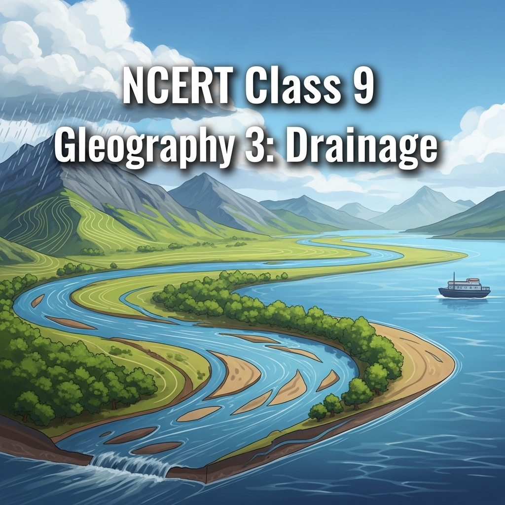
Drainage
Chapter 3: Geography - Complete Study Guide | NCERT Class 9 Notes & Questions 2025
Comprehensive Chapter Summary - Drainage Class 9 NCERT
Overview
- Chapter Purpose: Explains drainage as river systems; small streams form main river draining into large water body like lake/sea/ocean. Drainage basin: Area drained by single river system; water divide: Elevated area separating basins (e.g., mountain/upland). Figure 3.1: Water Divide; Figure 3.2: Gorge. India's systems controlled by relief: Himalayan (perennial, from rain/snow) vs Peninsular (seasonal, rainfall-dependent). Amazon world's largest basin; find India's largest. Key Insight: Rivers vital for economy (irrigation, navigation, hydel power) but pollution threatens; programs like Namami Gange address this.
- Drainage Patterns: Features: Upper (erosional, gorges), middle/lower (depositional, meanders, oxbow lakes, deltas). Figure 3.3: Features by Rivers.
- Expanded Relevance 2025: With climate change, focus on floods (Brahmaputra), pollution (Ganga); sustainable use via NRCP. Update: River conservation missions.
- Exam Tip: Distinguish Himalayan/Peninsular; use Figure 3.4 for maps; know basins, tributaries.
- Broader Implications: Rivers support agriculture, settlements; floods enrich soil but cause devastation; pollution affects health/ecosystems.
Himalayan Rivers
- Characteristics: Perennial (rain/snow-melt), long courses, gorges, erosional upper, depositional lower (meanders, oxbow, deltas); Indus, Ganga, Brahmaputra with tributaries form systems. Figure 3.4: Major Rivers/Lakes.
- Indus System: Rises Tibet near Mansarowar, west to India (Ladakh), gorge; tributaries Zaskar, Nubra, Shyok, Hunza (Kashmir); joins Satluj, Beas, Ravi, Chenab, Jhelum at Mithankot (Pakistan); south to Arabian Sea; 2900 km, basin in Ladakh/J&K/HP/Punjab/Pakistan. Indus Water Treaty (1960): India uses 20% for irrigation Punjab/Haryana/Rajasthan.
- Ganga System: Bhagirathi (Gangotri Glacier) joins Alaknanda at Devaprayag (Uttarakhand); emerges plains Haridwar. Himalayan tributaries: Yamuna (Yamunotri), Ghaghara/Gandak/Kosi (Nepal, flood-prone, enrich soil); Peninsular: Chambal, Betwa, Son (shorter). Enlarged, east to Farakka (WB), bifurcates Bhagirathi-Hooghly (south to Bay Bengal); mainstream to Bangladesh, joins Brahmaputra as Meghna. Sundarban Delta (Sundari tree, world's largest/fastest-growing, Royal Bengal tiger). Length 2500 km, dendritic pattern; Ambala divide Indus/Ganga; slope fall 1m/6km, large meanders. Figure 3.5: Confluence Bhagirathi/Alaknanda. Namami Gange (2014): Pollution abatement, conservation.
- Brahmaputra System: Rises Tibet east Mansarowar (near Indus/Satluj), east parallel Himalayas, 'U' turn Namcha Barwa, enters India (Arunachal) as Dihang; joins Dibang/Lohit as Brahmaputra (Assam). Less water/silt Tibet (cold/dry); high rainfall India, large water/silt, braided channel, riverine islands (Majuli largest inhabited). Floods rainy season (Assam/Bangladesh), silt raises bed, shifts channel. Known as Tsang Po (Tibet), Jamuna (Bangladesh).
Peninsular Rivers
- Characteristics: Seasonal (rainfall), shorter/shallower, originate central highlands/Western Ghats; east to Bay Bengal (deltas), west (estuaries); smaller basins. Western Ghats main divide.
- Narmada Basin: Rises Amarkantak (MP), west rift valley; picturesque Marble rocks (Jabalpur), Dhuadhar falls; short tributaries right angles; basin MP/Gujarat. Namami Devi Narmade (MP conservation).
- Tapi Basin: Rises Satpura (Betul, MP), rift parallel Narmada, shorter; basin MP/Gujarat/Maharashtra.
- Godavari Basin: Largest Peninsular, rises Western Ghats (Nasik, Maharashtra), 1500 km to Bay Bengal; largest basin (50% Maharashtra, MP/Odisha/AP); tributaries Purna, Wardha, Pranhita, Manjra, Wainganga, Penganga; Dakshin Ganga.
- Mahanadi Basin: Rises Chhattisgarh highlands, 860 km to Bay Bengal; basin Maharashtra/Chhattisgarh/Jharkhand/Odisha.
- Krishna Basin: Rises near Mahabaleshwar, 1400 km to Bay Bengal; tributaries Tungabhadra, Koyana, Ghatprabha, Musi, Bhima; basin Maharashtra/Karnataka/AP.
- Kaveri Basin: Rises Brahmagiri (Western Ghats), 760 km to Bay Bengal south Cuddalore (TN); tributaries Amravati, Bhavani, Hemavati, Kabini; basin Karnataka/Kerala/TN. Shivasamudram Falls (second biggest India, hydel to Mysuru/Bengaluru/Kolar Gold Field).
- Other East Flowing: Damodar, Brahmani, Baitarni, Subarnrekha.
- West Flowing: Sabarmati, Mahi, Bharathpuzha, Periyar (short, coastal plains narrow).
Lakes
- Types/Formation: Permanent/seasonal (inland drainage, e.g., Sambhar salt lake Rajasthan); glacial (Himalayan, e.g., Wular tectonic largest freshwater India J&K; Dal, Bhimtal, Nainital, Loktak, Barapani); oxbow (floodplain cut-offs); lagoons (spits/bars coastal, e.g., Chilika, Pulicat, Kolleru); artificial (dams hydel, e.g., Guru Gobind Sagar Bhakra Nangal). Figure 3.6: Loktak Lake. Seas: Caspian, Dead, Aral (large lakes).
- Importance: Regulate river flow (prevent flood/maintain dry season), hydel power, moderate climate, aquatic ecosystem, beauty/tourism/recreation. Activity: List natural/artificial lakes atlas.
Role of Rivers in Economy
- Fundamental: Water resource essential human activities; settlements/cities on banks (list state cities). Irrigation, navigation, hydel power key in India (agriculture major livelihood).
River Pollution
- Growing demand drains volume; untreated sewage/effluents pollute, reduce self-cleansing (Ganga assimilates within 20 km but urbanization hinders). Action plans: GAP (1985), NRCP (1995) for major rivers. Health effects polluted water; debate "life without fresh water".
SEO Note: Why This Guide?
Top-ranked for 'Drainage Class 9 notes 2025'—free, with 60 Q&A from PDF, quizzes. Integrates hydrological insights.
Key Themes
- Hydrological Variations: Perennial vs seasonal.
- Systems Details: Origins, courses, basins, economic roles. Figure 3.4: Map.
- Conservation Links: Missions for sustainability.
- Critical Thinking: Why floods? How deltas form? Pollution impacts.
Cases for Exams
Use Figure 3.4 for river identification; discuss silt benefits/drawbacks; analyze NRCP objectives.
Exercises Summary
- Focus: Expanded to 60 Q&A from PDF: 20 short (2M), 20 medium (4M), 20 long (8M) based on NCERT exercises + similar.
- Project Idea: Crossword for rivers; map marking of rivers, lakes.


As an Amazon Associate, ProSyllabus earns from qualifying purchases. Prices shown are subject to change.
Test your CBSE Class 9 Annual Assessment prep
Quizzes
10 questions · ~10 minutes · instant rank & AI diagnosis
Class 9 Science — Tissues in Action (Practice Quiz)
Class 9 Hindi — तब याद तुम्हारी आती है (Practice Quiz)
Class 9 Hindi — निर्मल जीत सिंह सेखों (Practice Quiz)
Class 9 Hindi — घर की याद (Practice Quiz)
Class 9 Hindi — झाँसी की रानी (Practice Quiz)
Class 9 Hindi — भारति, जय, विजयकरे! (Practice Quiz)
Class 9 Hindi — राम-लक्ष्मण-परशुराम संवाद (Practice Quiz)
Class 9 Hindi — रैदास के पद (Practice Quiz)
Class 9 Hindi — मैं और मेरा देश (Practice Quiz)
Class 9 Hindi — रीढ़ की हड्डी (Practice Quiz)
Class 9 Hindi — आखिरी चट्टान तक (Practice Quiz)
Class 9 Hindi — ऐसी भी बातें होती हैं (लता मंगेशकर से साक्षात्कार) (Practice Quiz)
Class 9 Hindi — संवादहीन (Practice Quiz)
Class 9 Hindi — क्या लिखूँ? (Practice Quiz)
Class 9 Hindi — दो बैलों की कथा (Practice Quiz)
Class 9 Physical Education — Yoga for Holistic Health and Personal Excellence (Practice Quiz)
Class 9 Physical Education — Sports (Practice Quiz)
Class 9 Physical Education — Sports for All (Practice Quiz)
Class 9 Physical Education — Olympism (Practice Quiz)
Class 9 Physical Education — Science and Sports (Practice Quiz)
Class 9 Physical Education — Physical Education and Well-being (Practice Quiz)
Class 9 English — Follow That Dream (Practice Quiz)
Class 9 English — Carrier of Words (Practice Quiz)
Class 9 English — Twin Melodies (Practice Quiz)
Class 9 English — The World of Limitless Possibilities (Practice Quiz)
Class 9 English — Vitamin-M (Practice Quiz)
Class 9 English — Winds of Change (Practice Quiz)
Class 9 English — The Pot Maker (Practice Quiz)
Class 9 English — How I Taught My Grandmother to Read (Practice Quiz)
Class 9 Maths — Predicting What Comes Next: Exploring Sequences and Progressions (Practice Quiz)
Class 9 Maths — The Mathematics of Maybe: Introduction to Probability (Practice Quiz)
Class 9 Maths — Measuring Space: Perimeter and Area (Practice Quiz)
Class 9 Maths — I'm Up and Down, and Round and Round (Practice Quiz)
Class 9 Maths — Exploring Algebraic Identities (Practice Quiz)
Class 9 Maths — The World of Numbers (Practice Quiz)
Class 9 Maths — Introduction to Linear Polynomials (Practice Quiz)
Class 9 Maths — Orienting Yourself: The Use of Coordinates (Practice Quiz)
Class 9 Science — Earth as a System: Energy, Matter, and Life (Practice Quiz)
Class 9 Science — Patterns in Life: Diversity and Classification (Practice Quiz)
Class 9 Science — Reproduction: How Life Continues (Practice Quiz)
Class 9 Science — Sound Waves: Characteristics and Applications (Practice Quiz)
Class 9 Science — Atomic Foundations of Matter (Practice Quiz)
Class 9 Science — Journey Inside the Atom (Practice Quiz)
Class 9 Science — Work, Energy, and Simple Machines (Practice Quiz)
Class 9 Science — How Forces Affect Motion (Practice Quiz)
Class 9 Science — Exploring Mixtures and their Separation (Practice Quiz)
Class 9 Science — Describing Motion Around Us (Practice Quiz)
Class 9 Science — Cell: The Building Block of Life (Practice Quiz)
Class 9 Science — Entering the World of Secondary Science (Practice Quiz)
Fundamental Rights and Duties Fundamentals | CBSE Class 9 Annual Assessment
Motion Along a Straight Line Fundamentals | CBSE Class 9 Annual Assessment
Number Systems and Operations Fundamentals — Free CBSE Class 9 Annual Assessment Quiz

Group Discussions
No forum posts available.

