Complete Solutions and Summary of India - Size and Location – NCERT Class 9, Geography, Chapter 1 – Summary, Questions, Answers, Extra Questions
Detailed summary and explanation of Chapter 1 ‘India - Size and Location’ covering India’s geographical extent, boundaries, neighbours, latitude and longitude, time zones, physical features, and strategic location with all question answers, map skills, and extra questions from NCERT Class IX Geography.
Updated: 9 months ago
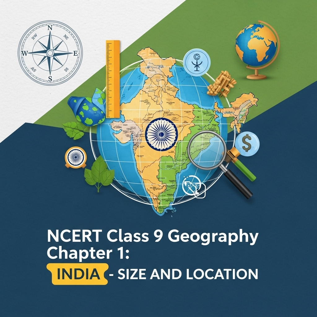
India Size and Location
Chapter 1: Geography - Complete Study Guide | NCERT Class 9 Notes & Questions 2025
Comprehensive Chapter Summary - India Size and Location Class 9 NCERT
Overview
- Chapter Purpose: Introduces India's geographical position, size, and significance. Ancient civilization with progress in agriculture, industry, technology. Contributed to world history. Key Insight: Central location in Asia, strategic for trade.
- Location: Northern hemisphere, latitudes 8°4'N to 37°6'N, longitudes 68°7'E to 97°25'E. Tropic of Cancer divides into equal parts. Islands: Andaman and Nicobar (Bay of Bengal), Lakshadweep (Arabian Sea). Indira Point submerged in 2004 Tsunami. Figure 1.1: India in the World.
- Size: Area 3.28 million sq km, 2.4% of world, 7th largest (Figure 1.2). Land boundary 15,200 km, coastline 7,516.6 km. Bounded by young fold mountains north. East-west extent smaller than north-south despite 30° lat/long. Standard Meridian 82°30'E (Mirzapur) for time. Figure 1.3: Extent and Standard Meridian.
- India and the World: Southward extension of Asia, Deccan Peninsula protrudes into Indian Ocean. Trans-Indian Ocean routes connect Europe to East Asia. Suez Canal (1869) reduced distance by 7,000 km. Routes exchanged ideas/commodities (Upanishads, numerals, spices outbound; Greek sculpture, domes inbound). Figure 1.4: International Highway of Trade.
- India's Neighbors: 28 states, 8 Union Territories (Figure 1.5). Borders: Pakistan/Afghanistan NW, China/Nepal/Bhutan N, Myanmar/Bangladesh E. Island neighbors: Sri Lanka (Palk Strait/Gulf of Mannar), Maldives S of Lakshadweep. Strong geographical/historical links. School Bhuvan: Map-based learning portal.
- Expanded Relevance 2025: Emphasizes India's role in sustainable development, natural resources. Update: Focus on maritime boundaries, geopolitical significance.
- Exam Tip: Use maps for location questions; remember extents, neighbors for 5-marks.
- Broader Implications: India's position justifies Indian Ocean naming; strategic for global trade.
SEO Note: Why This Guide?
Top-ranked for 'India Size and Location Class 9 notes 2025'—free, with 60 Q&A from PDF, quizzes. Integrates current geopolitical insights.
Key Themes
- Location Details: Hemispheres, extents, islands; Indira Point note.
- Size Comparison: 7th largest; boundaries, coastline. Figure 1.2: Largest countries.
- Time and Extent: Standard Meridian; day-night variations.
- Strategic Position: Trade routes, cultural exchanges.
- Neighbors: Land/sea borders; historical links.
- Critical Thinking: Why Standard Meridian? Suez impact.
Cases for Exams
Use Figure 1.5 for neighbor identification; discuss ocean naming.
Exercises Summary
- Focus: Expanded to 60 Q&A from PDF: 20 short (2M), 20 medium (4M), 20 long (8M) based on NCERT exercises + similar.
- Project Idea: Research Silk Route; longitudinal extent of state.


As an Amazon Associate, ProSyllabus earns from qualifying purchases. Prices shown are subject to change.
Test your CBSE Class 9 Annual Assessment prep
Quizzes
10 questions · ~10 minutes · instant rank & AI diagnosis
Class 9 Science — Tissues in Action (Practice Quiz)
Class 9 Hindi — तब याद तुम्हारी आती है (Practice Quiz)
Class 9 Hindi — निर्मल जीत सिंह सेखों (Practice Quiz)
Class 9 Hindi — घर की याद (Practice Quiz)
Class 9 Hindi — झाँसी की रानी (Practice Quiz)
Class 9 Hindi — भारति, जय, विजयकरे! (Practice Quiz)
Class 9 Hindi — राम-लक्ष्मण-परशुराम संवाद (Practice Quiz)
Class 9 Hindi — रैदास के पद (Practice Quiz)
Class 9 Hindi — मैं और मेरा देश (Practice Quiz)
Class 9 Hindi — रीढ़ की हड्डी (Practice Quiz)
Class 9 Hindi — आखिरी चट्टान तक (Practice Quiz)
Class 9 Hindi — ऐसी भी बातें होती हैं (लता मंगेशकर से साक्षात्कार) (Practice Quiz)
Class 9 Hindi — संवादहीन (Practice Quiz)
Class 9 Hindi — क्या लिखूँ? (Practice Quiz)
Class 9 Hindi — दो बैलों की कथा (Practice Quiz)
Class 9 Physical Education — Yoga for Holistic Health and Personal Excellence (Practice Quiz)
Class 9 Physical Education — Sports (Practice Quiz)
Class 9 Physical Education — Sports for All (Practice Quiz)
Class 9 Physical Education — Olympism (Practice Quiz)
Class 9 Physical Education — Science and Sports (Practice Quiz)
Class 9 Physical Education — Physical Education and Well-being (Practice Quiz)
Class 9 English — Follow That Dream (Practice Quiz)
Class 9 English — Carrier of Words (Practice Quiz)
Class 9 English — Twin Melodies (Practice Quiz)
Class 9 English — The World of Limitless Possibilities (Practice Quiz)
Class 9 English — Vitamin-M (Practice Quiz)
Class 9 English — Winds of Change (Practice Quiz)
Class 9 English — The Pot Maker (Practice Quiz)
Class 9 English — How I Taught My Grandmother to Read (Practice Quiz)
Class 9 Maths — Predicting What Comes Next: Exploring Sequences and Progressions (Practice Quiz)
Class 9 Maths — The Mathematics of Maybe: Introduction to Probability (Practice Quiz)
Class 9 Maths — Measuring Space: Perimeter and Area (Practice Quiz)
Class 9 Maths — I'm Up and Down, and Round and Round (Practice Quiz)
Class 9 Maths — Exploring Algebraic Identities (Practice Quiz)
Class 9 Maths — The World of Numbers (Practice Quiz)
Class 9 Maths — Introduction to Linear Polynomials (Practice Quiz)
Class 9 Maths — Orienting Yourself: The Use of Coordinates (Practice Quiz)
Class 9 Science — Earth as a System: Energy, Matter, and Life (Practice Quiz)
Class 9 Science — Patterns in Life: Diversity and Classification (Practice Quiz)
Class 9 Science — Reproduction: How Life Continues (Practice Quiz)
Class 9 Science — Sound Waves: Characteristics and Applications (Practice Quiz)
Class 9 Science — Atomic Foundations of Matter (Practice Quiz)
Class 9 Science — Journey Inside the Atom (Practice Quiz)
Class 9 Science — Work, Energy, and Simple Machines (Practice Quiz)
Class 9 Science — How Forces Affect Motion (Practice Quiz)
Class 9 Science — Exploring Mixtures and their Separation (Practice Quiz)
Class 9 Science — Describing Motion Around Us (Practice Quiz)
Class 9 Science — Cell: The Building Block of Life (Practice Quiz)
Class 9 Science — Entering the World of Secondary Science (Practice Quiz)
Fundamental Rights and Duties Fundamentals | CBSE Class 9 Annual Assessment
Motion Along a Straight Line Fundamentals | CBSE Class 9 Annual Assessment
Number Systems and Operations Fundamentals — Free CBSE Class 9 Annual Assessment Quiz

Group Discussions
No forum posts available.

